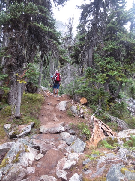
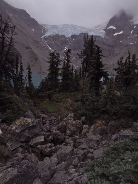
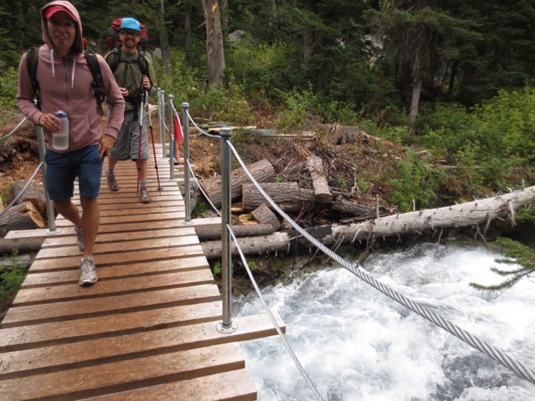
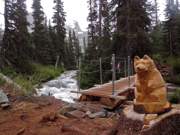
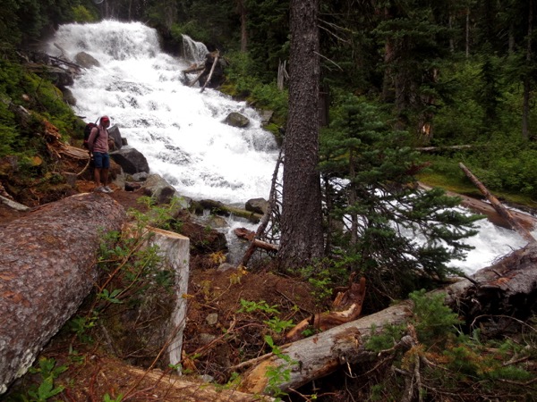
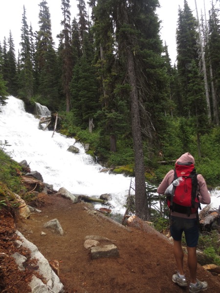
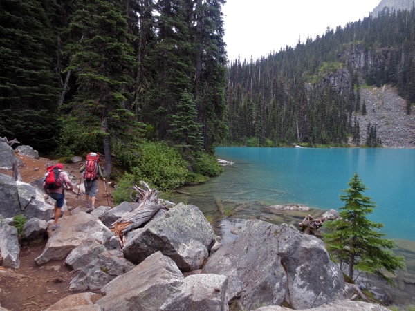
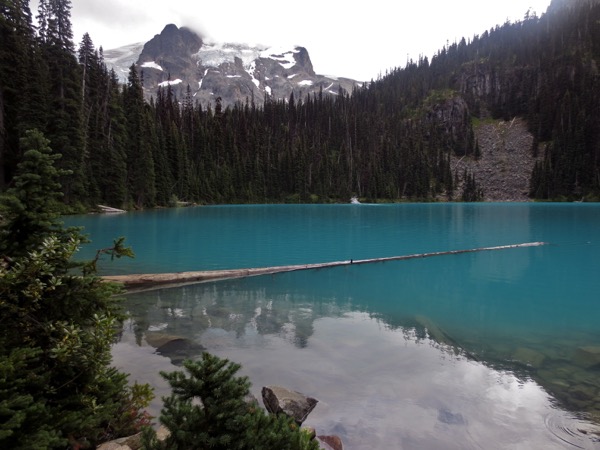
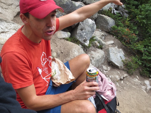
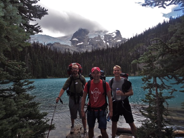
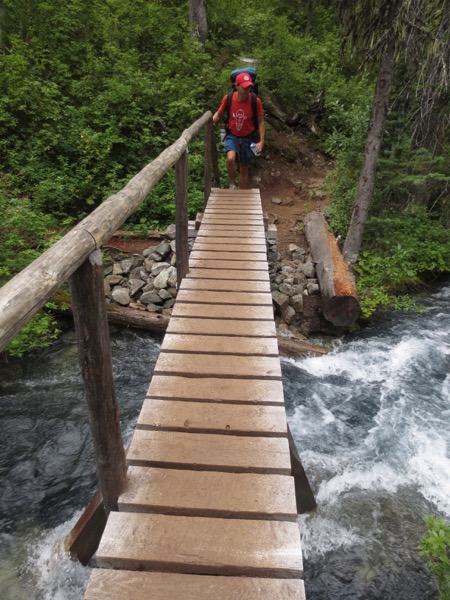
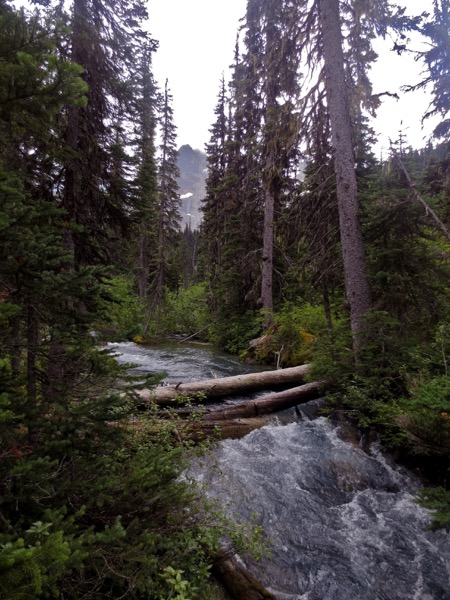
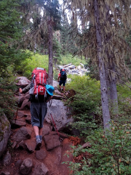
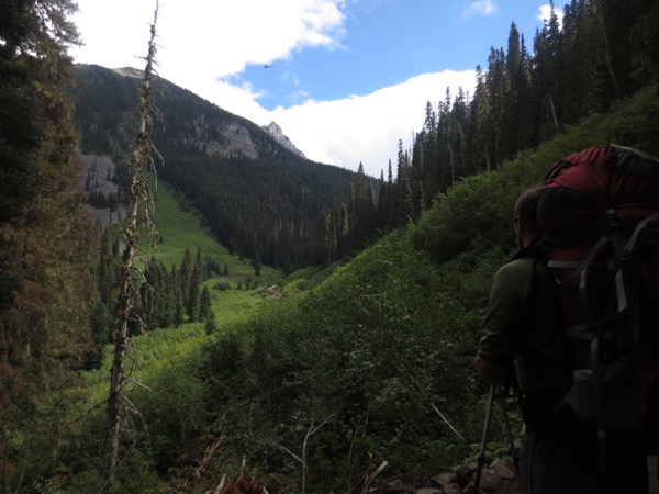
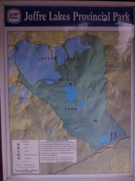
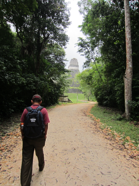
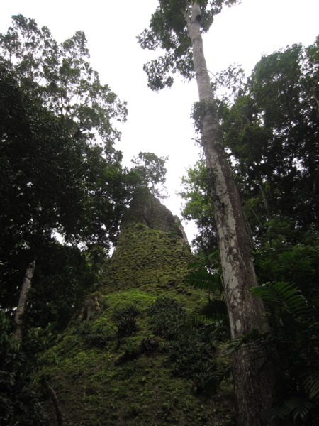
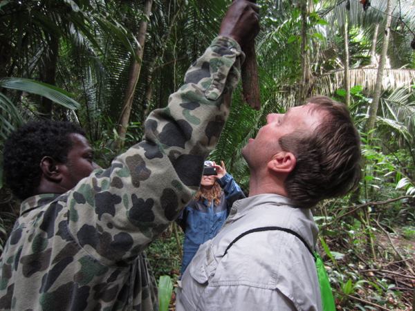
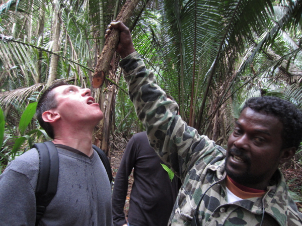
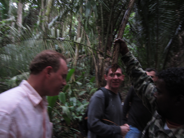
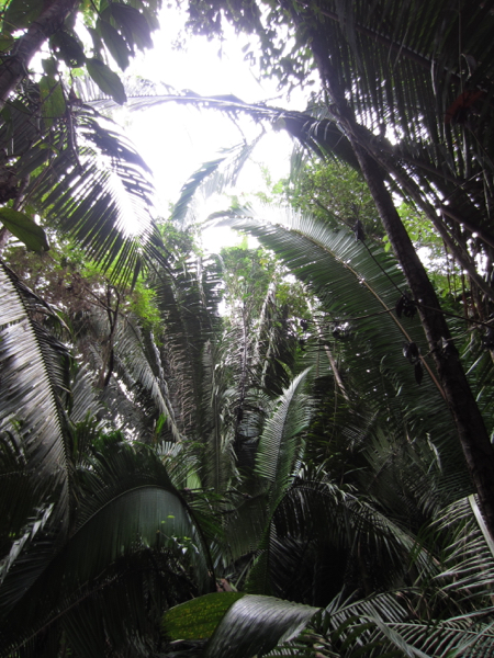
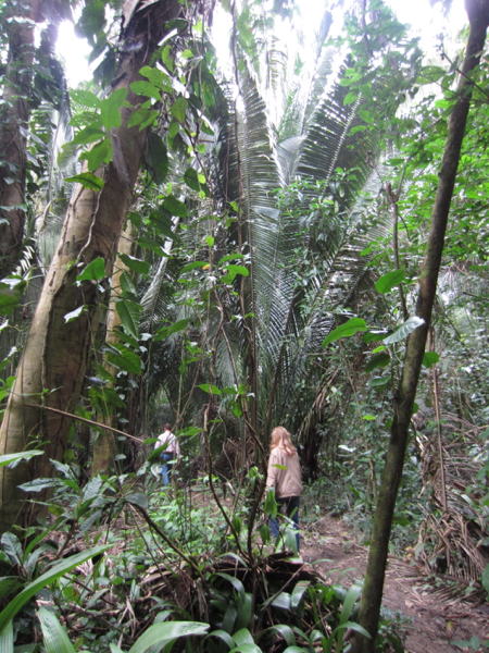
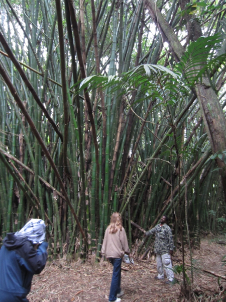
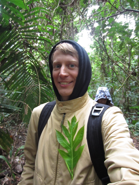
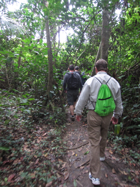
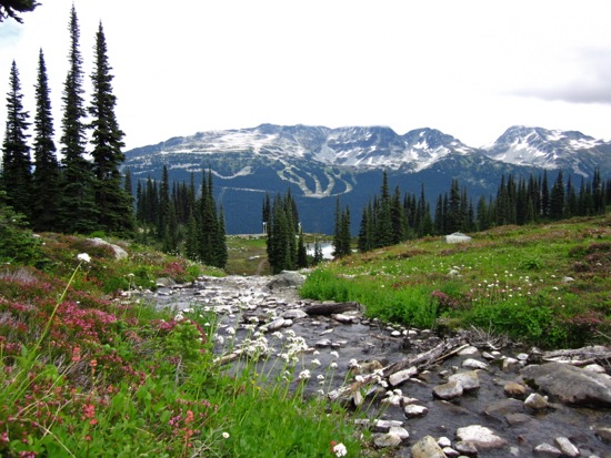
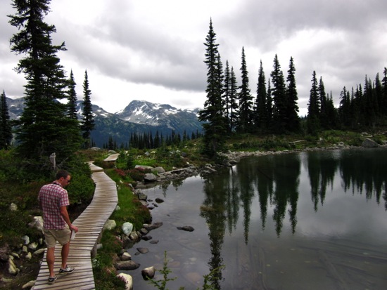
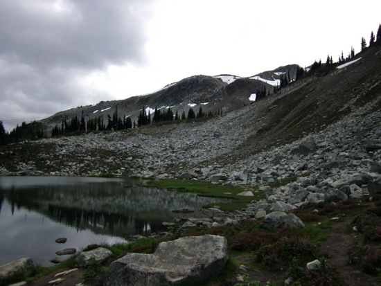
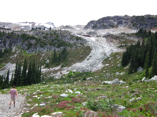
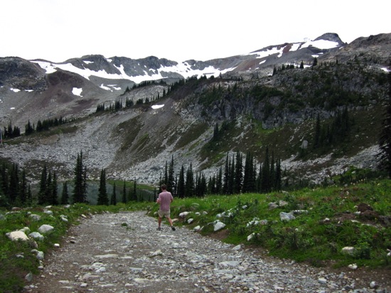
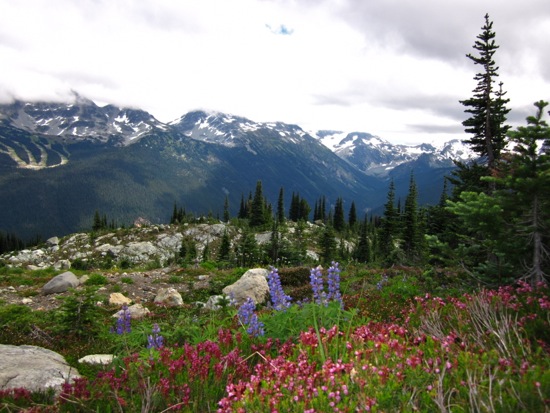
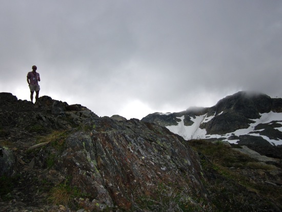
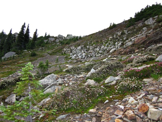
a thing in 163 photos hiking Two and a half hours after setting off, we rounded a corner of the trail... ...and were stopped dead in our tracks by the view! Don't look down! ...where it flattened out a bit for another bridge, this one marked by a chainsaw-carved bear. We followed the trail up to... Another rushing river. On with the hike! Still lots of ground to cover to reach the third lake at the foot of the glacier! ...walk out onto this log without falling in. We stopped for a snack... ...and a beer and discussed whether or not we'd be able to... Photo to prove to future generations that I saw a real glacier. ...until we came to the bridge. Followed this river for a while... We wanted to be able to make camp before dark, so we pressed on. ...and set off! Twenty minutes into our hike, we made it to the first of three glacial lakes. Our friend Matt Walker met us up there! Got our packs situated... ...took a quick photo of the map in the (hopefully unlikely event) that we'd need to consult it... When Tikal's Temple I finally came into view, I was taken back. ...other parts of the site that they hadn't excavated yet. All along the tree line during our hike, you could see... After leaving the visitor's center, you have to walk through the jungle for twenty minutes or so. This vine had enough water for all of us to get a mouthful. A few minutes later, Percy pointed out... Baddest dude EVAAAAAAAR. Our guide Percy paused and casually asked "Anyone thirsty?" before slashing his machete in a diagonal arc at a thick vine above his shoulder and offering the fresh water pouring out of it for each of us to drink. As tempted as you might be to let your eyes wander around in wondoer as walk, there are worse things than tree spikes that you could accidentally put your face into... Onward towards the monkeys! Percy was an awesome guide. We paused at this huge bamboo grove to listen to the CAH-RAZY sounds of the howler monkeys in the distance barking / screaching to each other! Percy decorated my jacket with a leaf to demonstrate it's sticky, velcro-like surface. After going 90 minutes up river, we stopped for a hike through a wildlife preserve. On our way up. Taking a break in the shade. We followed a different footpath down. ...Chautauqua Park. (It's not as nice as Tompkins Park, but it was alright). Hiked up a big hill. ...and then headed across the river to hike around on my own. Awesome view of Playa Colorado! See that part of the water that looks like a giant sandbar? That's sand from Panga Drop's undertow! Later that afternoon, Steve and I crossed the river again to hike up to the highest point around. We followed the stream down the mountain for a while. ...with a wooden foot path around it. ...there was a pond... Breathtaking views everywhere. The temperature was much better as we started walking down a bit. Wildflowers and mountains. Grant up top. Really neat to see all the plants and wildflowers that thrive in snow's absence. The views are just unbelievable. Wow. Into the fray! The path leads up to... Getting closer to the top! The path up to the falls winds through the pines... We tied up our rafts and climbed up to... After thirty minutes or so on the raft, we reached the shore near the cave! ...and we set out on a hike to cross the island. Fatty and Chris walking back down to our car. Me and Tookie. See that lake in the background? That's the lake the Tookie's house is on! Joey Cavella is a sly, mountain man! And because the girls both thought that we're jackasses and wouldn't pose, here's mountain man Joey Cavella....again. The four of us on the way up. Mountain-man, Brian Battjer.